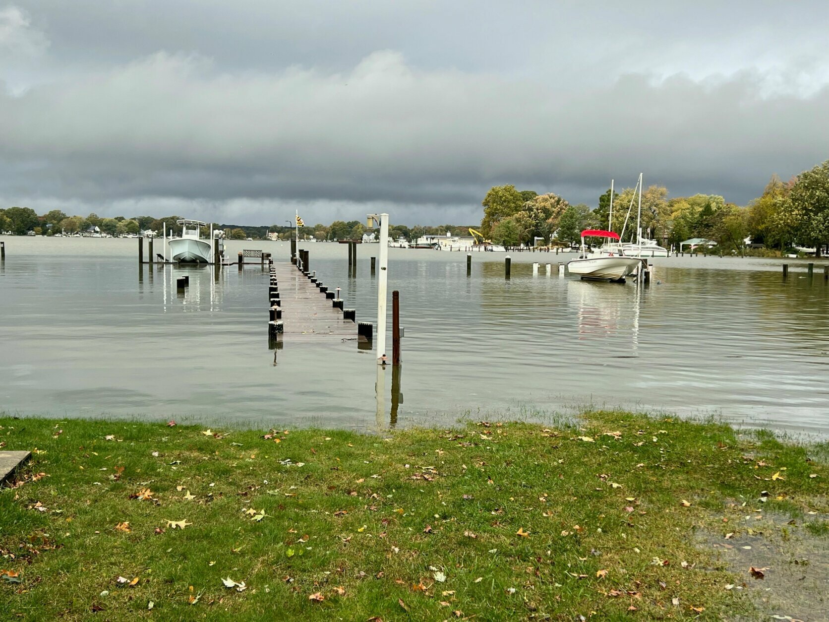
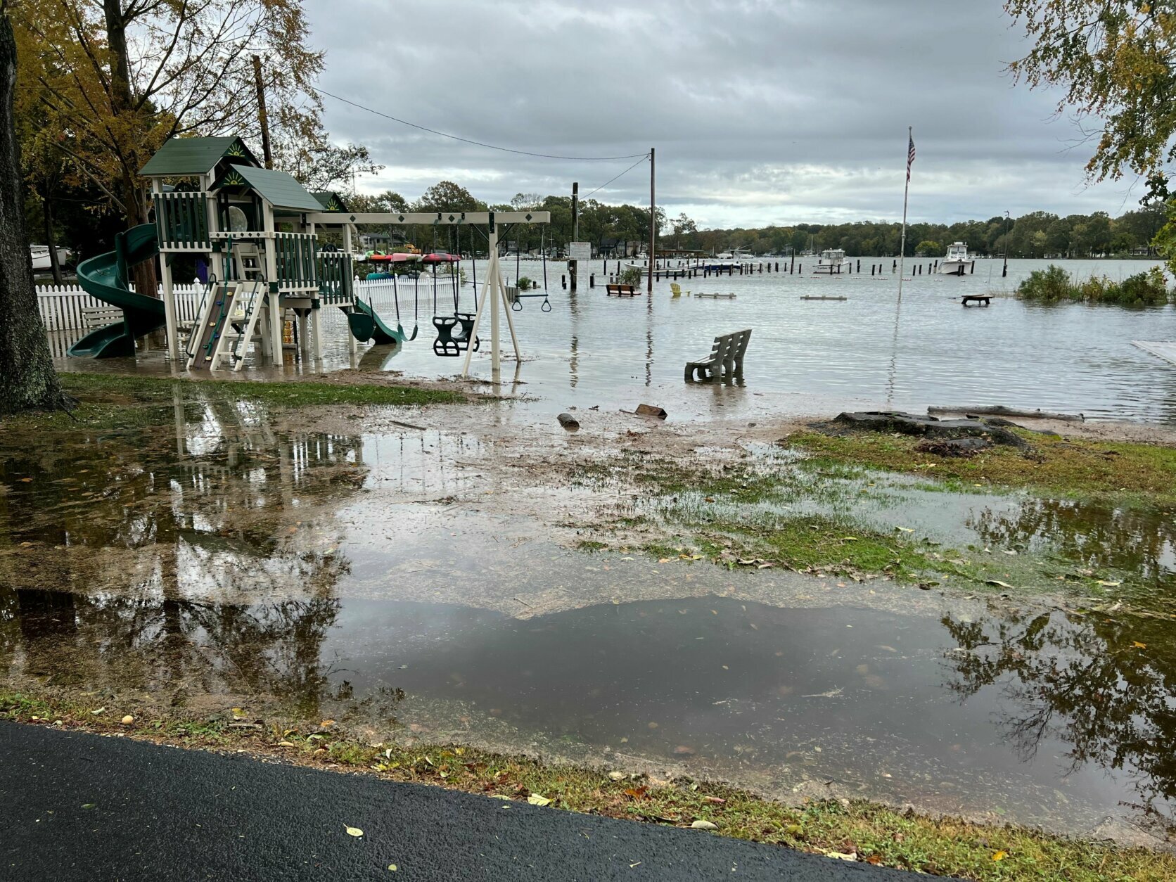
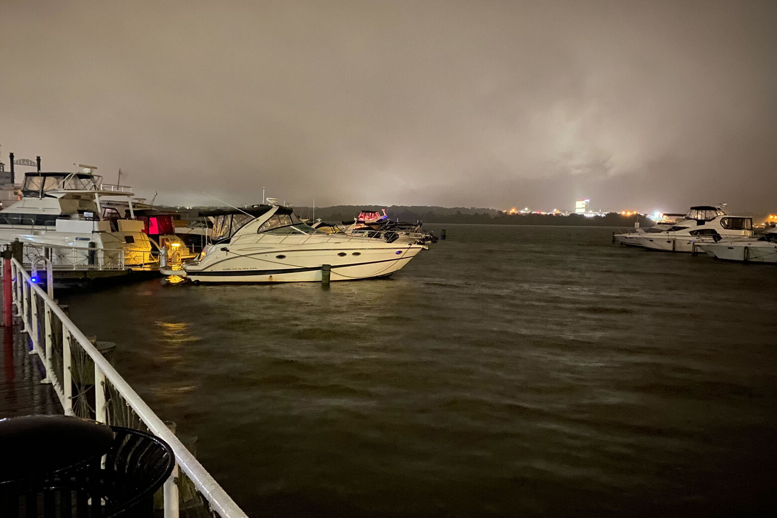
After the heavy rain that led to flooding in several areas along the shores of the Chesapeake Bay, the Potomac River and the Atlantic coast, the D.C. area is not in the clear just yet. Here’s what you need to know to start your Halloween weekend.
The bulk of Friday’s rainfall concluded by early Saturday, but tidal and coastal flooding continues with moderate to major flooding in the forecast through at least Saturday, the National Weather Service said. A flood warning remains in effect for parts of Prince George’s County, Maryland, until 7:30 a.m. Saturday.
Rivers will be running high from Friday’s rain, and with the chance of a few more showers Saturday, some larger streams and small rivers will continue to rise.
AP/Susan Walsh
AP/Susan Walsh
AP/Susan Walsh

WTOP/Dave Dildine
WTOP/Dave Dildine
Courtesy Harry Scholten
Courtesy Harry Scholten
AP/Cliff Owen
AP/Cliff Owen
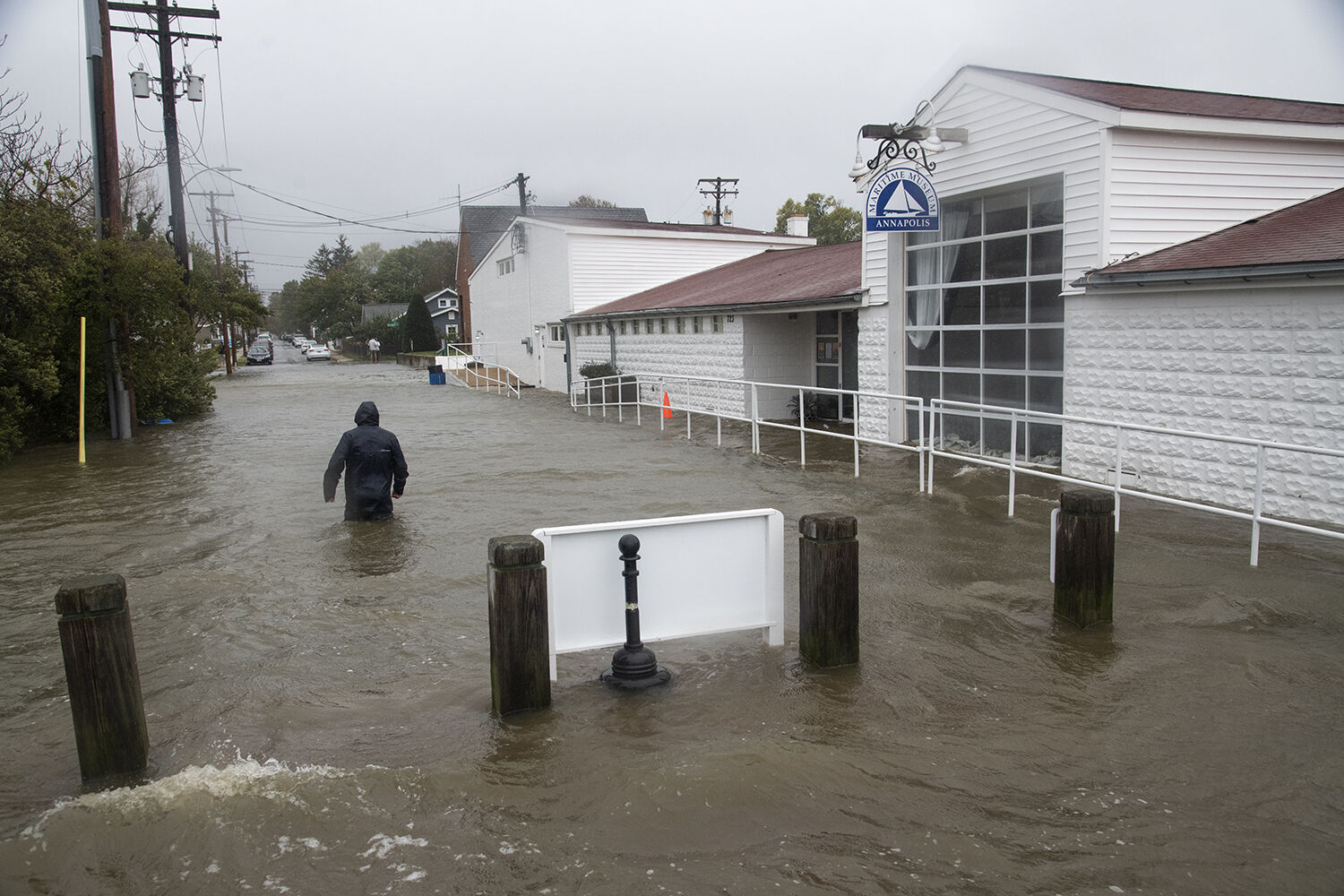
Courtesy Jay Fleming
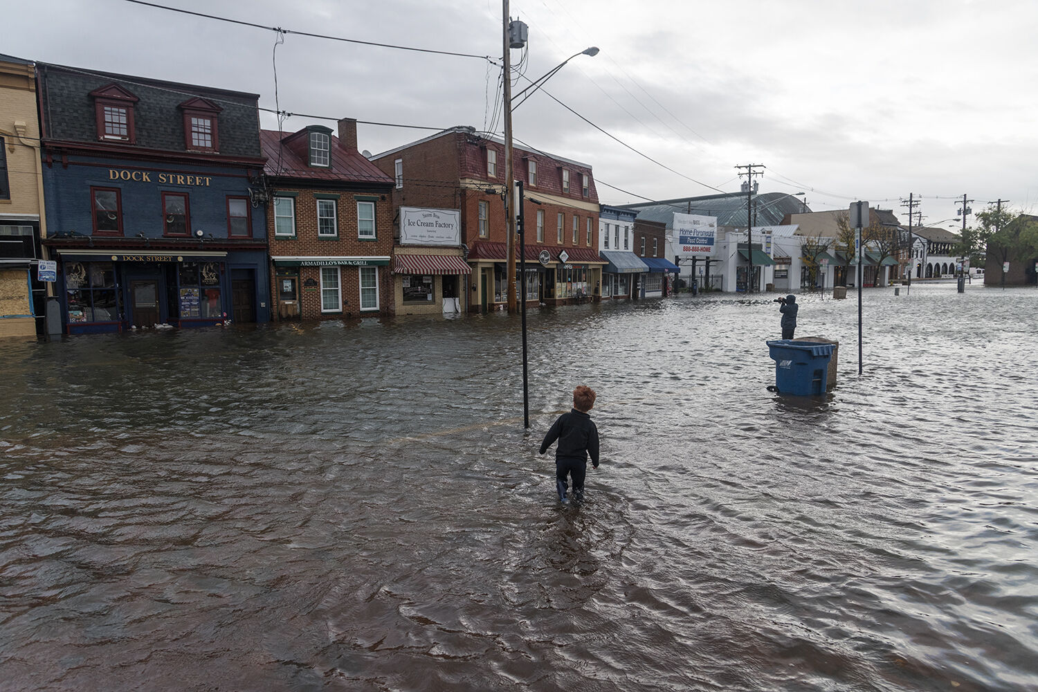
Courtesy Jay Fleming
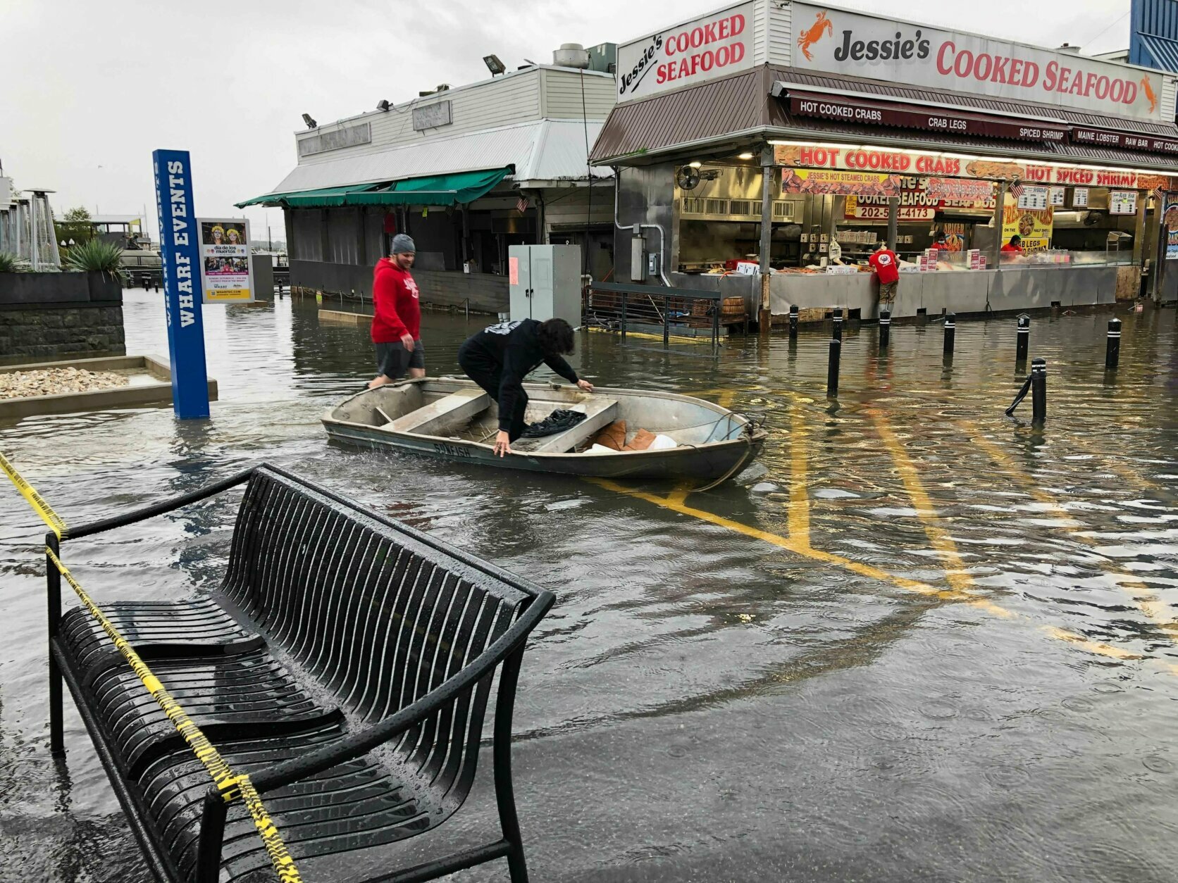
WTOP/Valerie Bonk

WTOP/Valerie Bonk
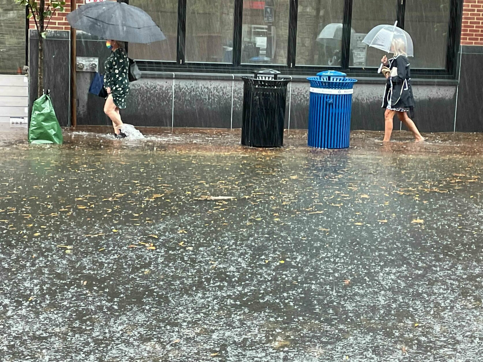
WTOP/Kyle Cooper
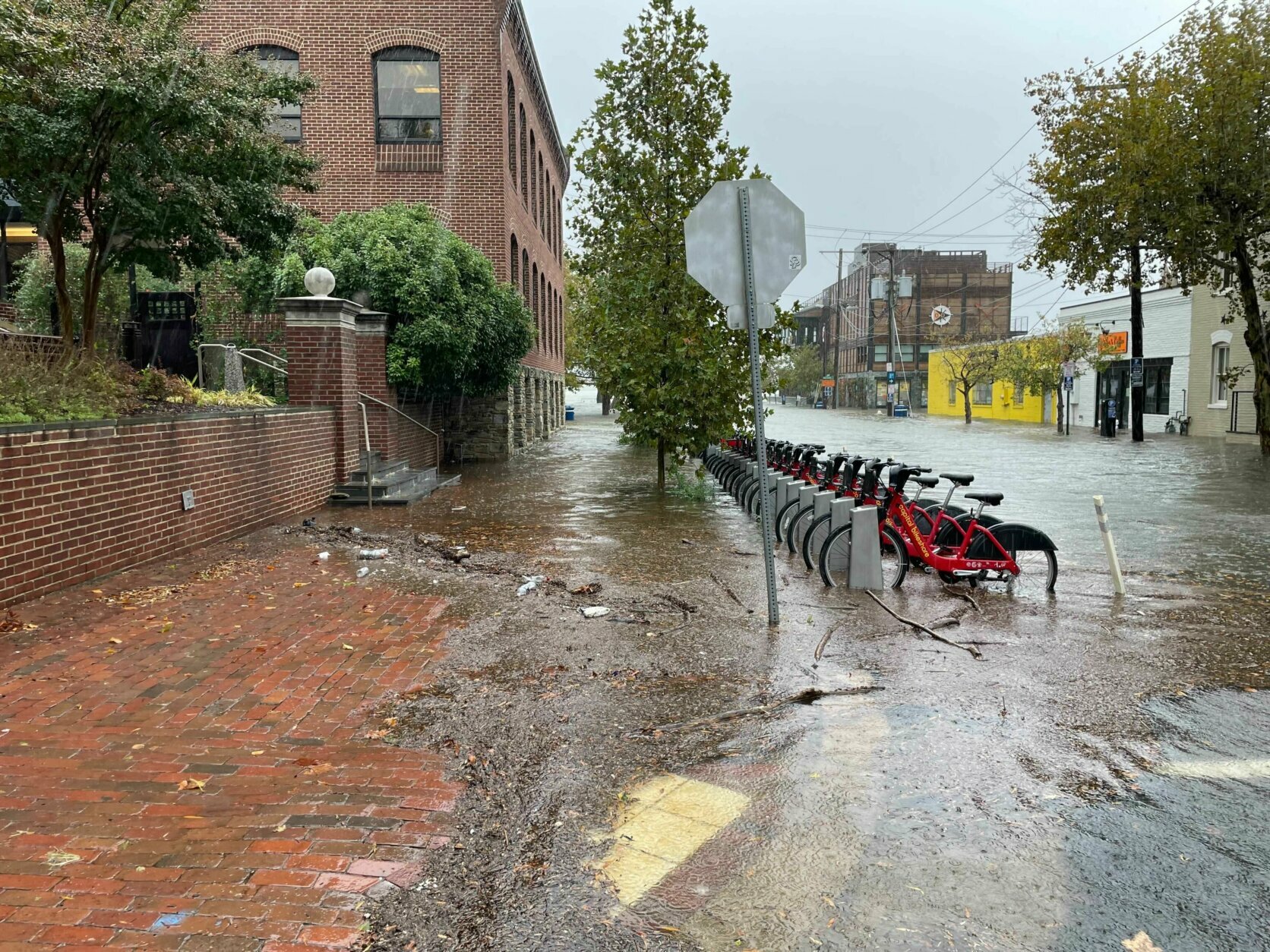
WTOP/Kyle Cooper
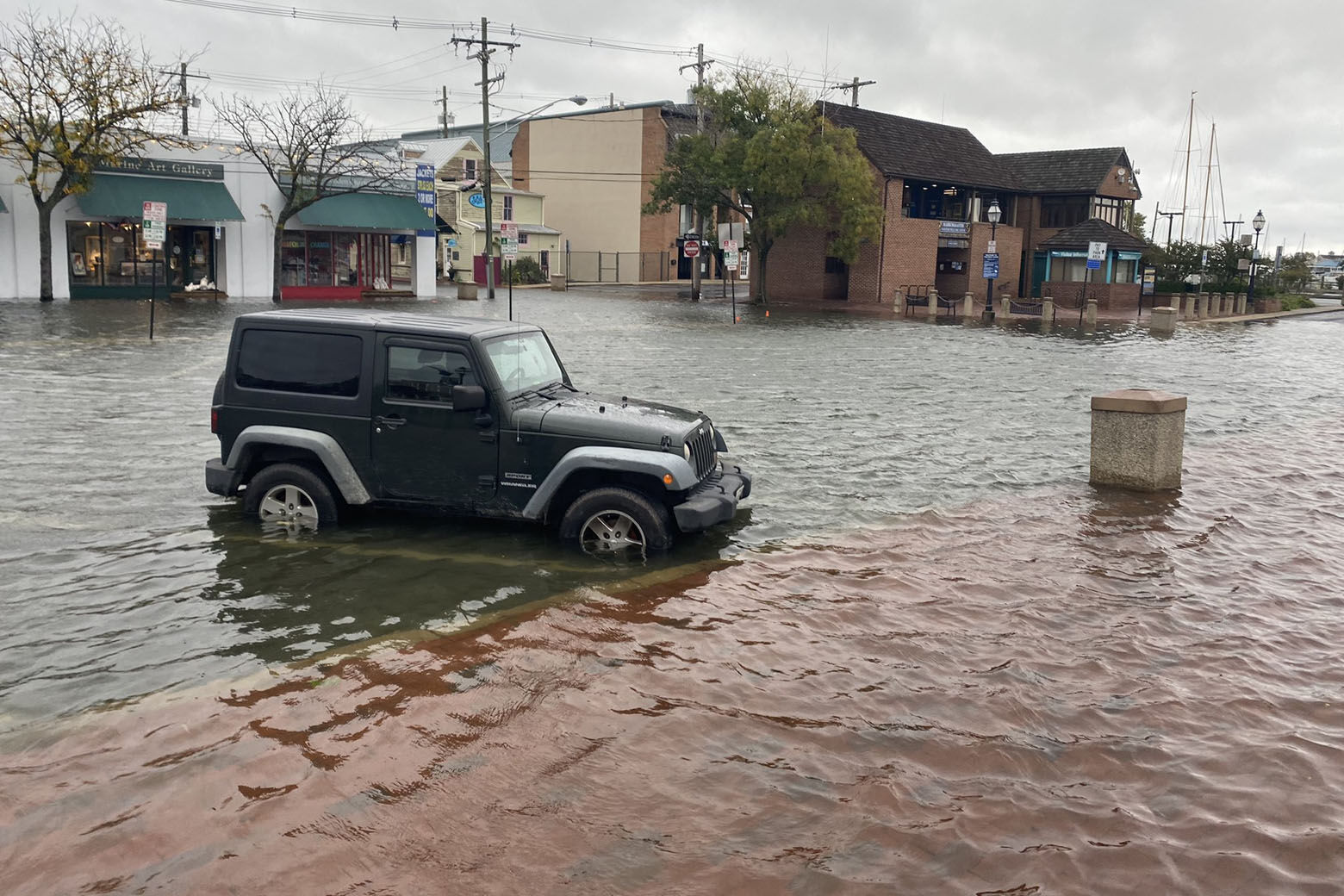
WTOP/Luke Lukert
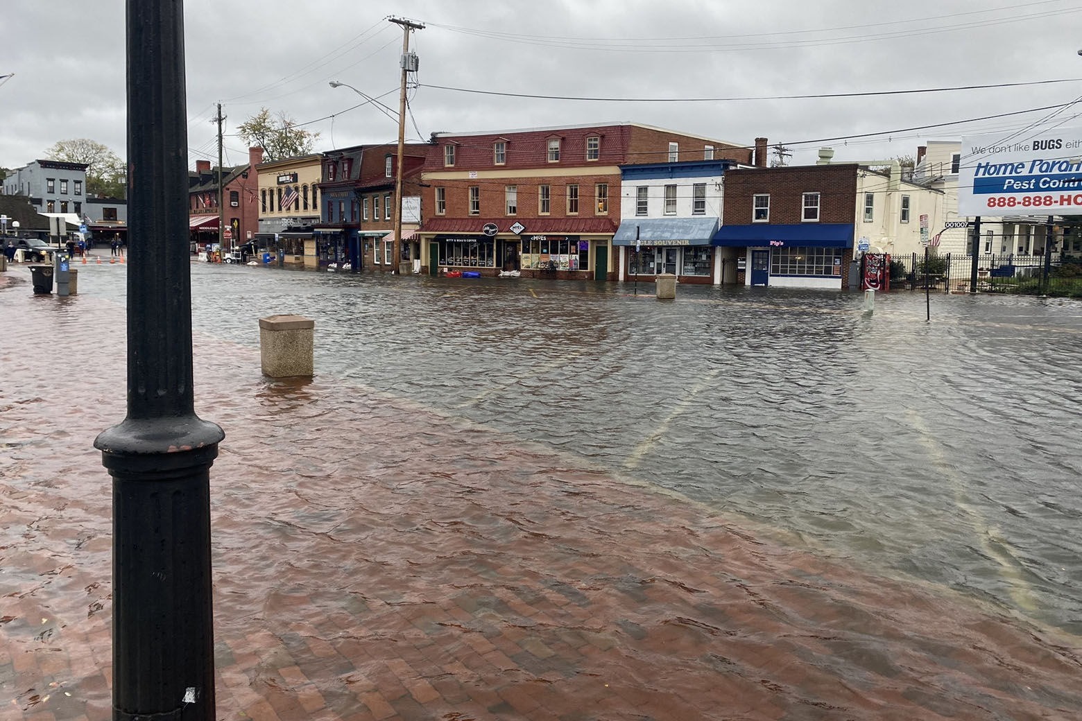
WTOP/Luke Lukert
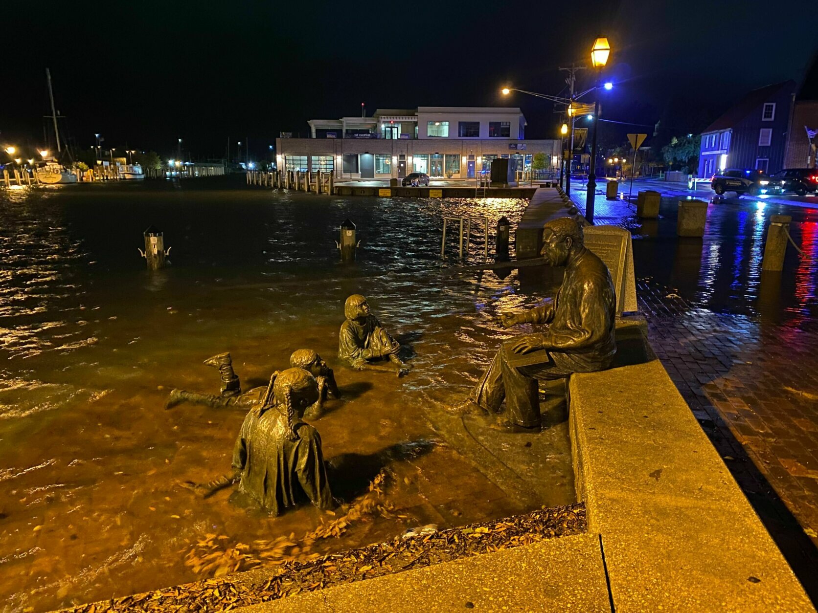
WTOP/Luke Lukert
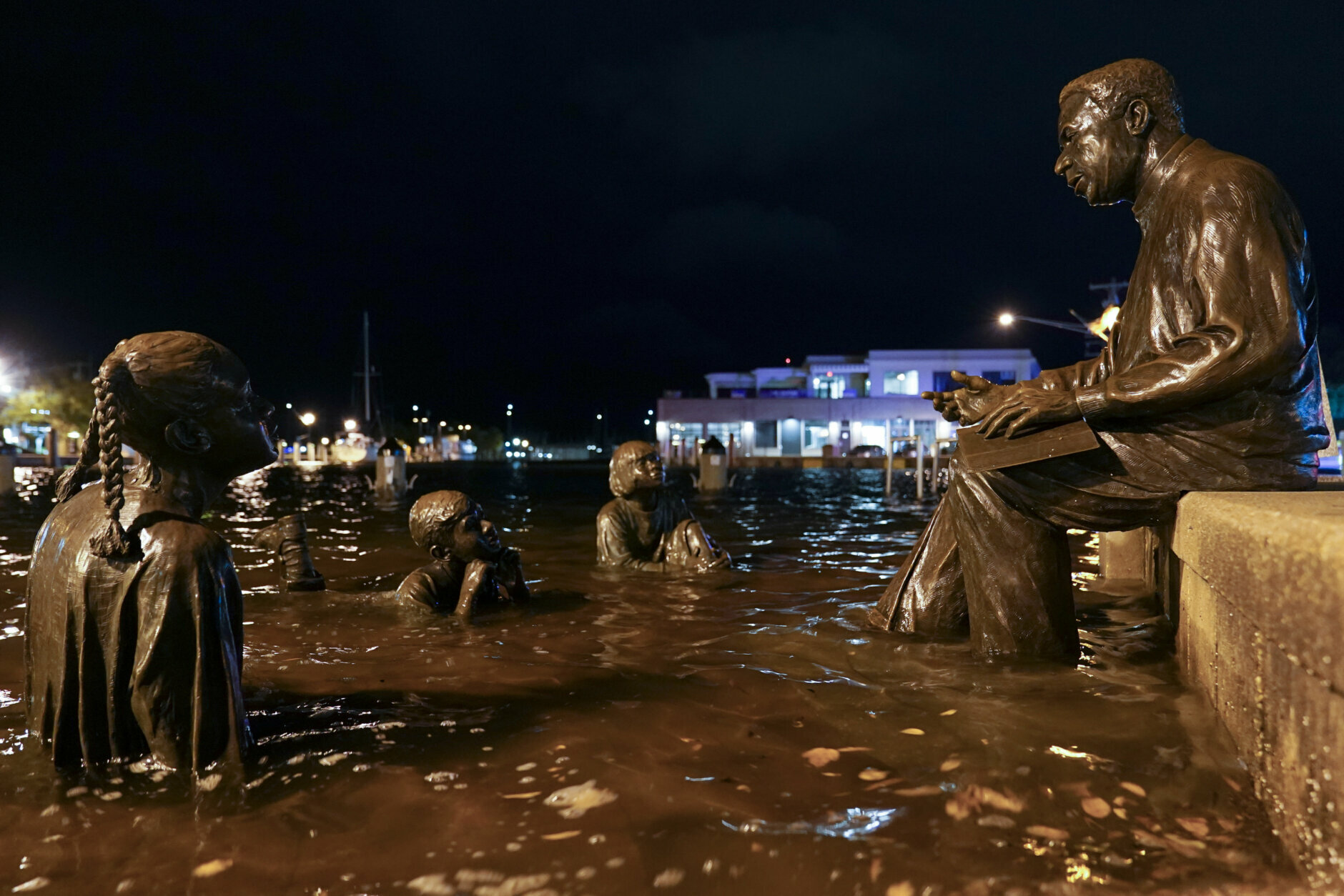
AP/Susan Walsh
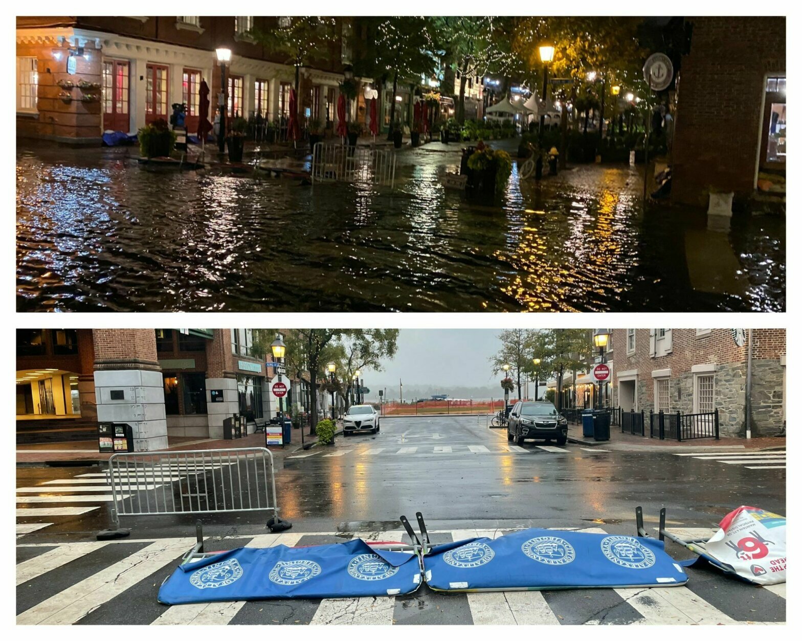
WTOP/ Neal Augenstein and Luke Lukert
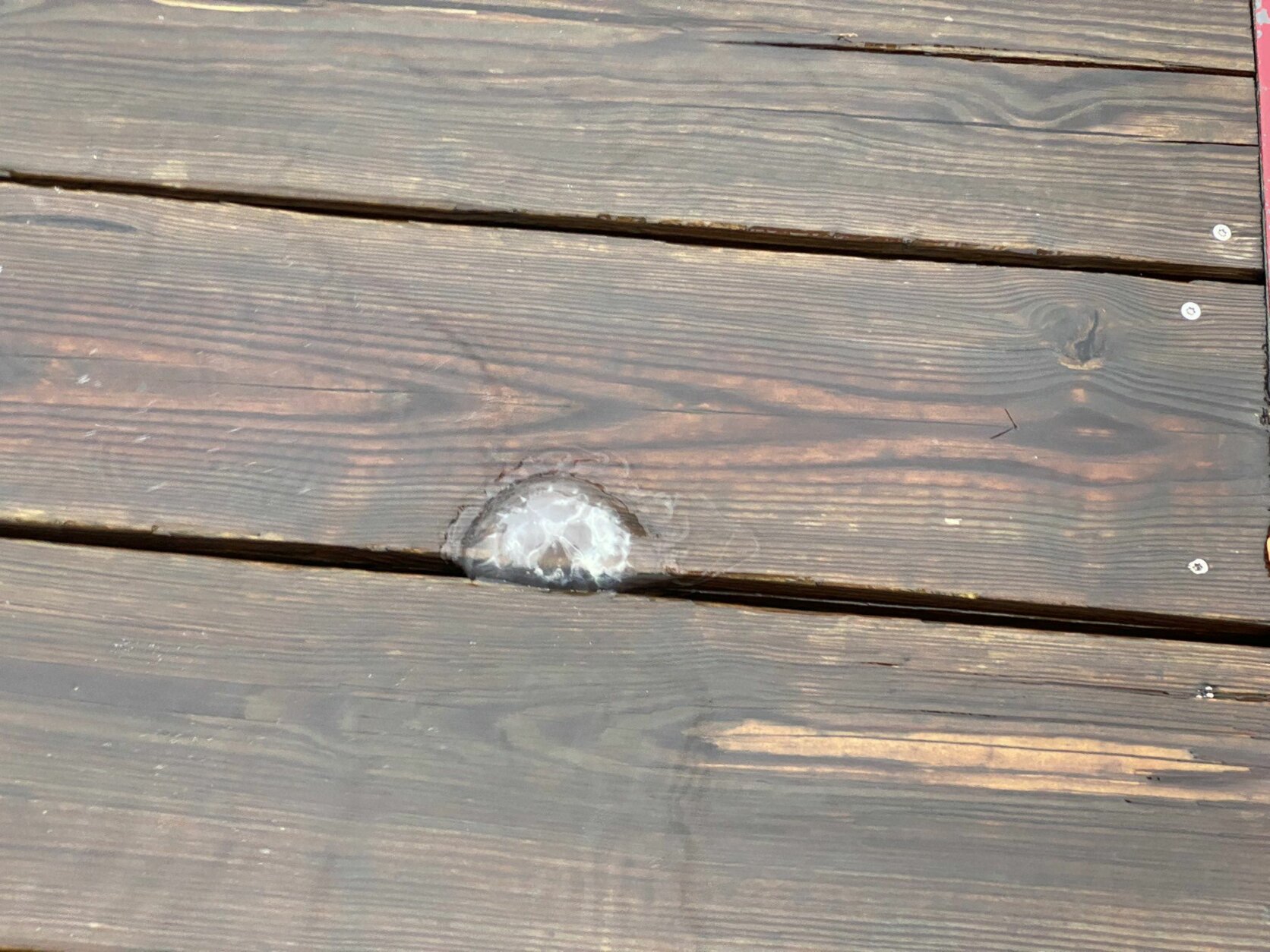
WTOP/Luke Lukert

WTOP/Luke Lukert
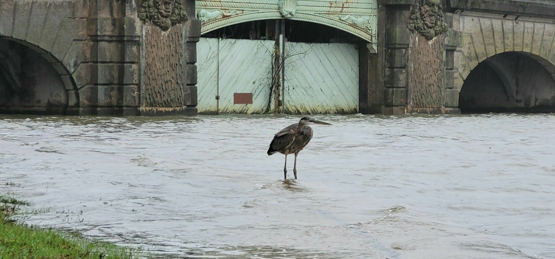
WTOP/Hillary Howard
WTOP/Hillary Howard
WTOP/ Neal Augenstein
WTOP/Luke Lukert
WTOP/Luke Lukert
WTOP/Luke Lukert

AP/Susan Walsh
Watches and Warnings
- In Maryland, parts of Prince George’s and west central Anne Arundel counties and southern Baltimore are under a flood warning through the weekend.
- In Virginia, Fairfax, Prince William, Manassas, Manassas Park, and Stafford are under a flood warning until Saturday at 8 a.m.
- A coastal flood warning for the Chesapeake Bay and the tidal Potomac remains in effect through the weekend for some areas.
On Friday, Maryland Gov. Larry Hogan declared a state of emergency for areas that are under a coastal flood warning throughout the weekend.
The highest tides in 10 to 20 years are expected, with threats including the inundation of water on roads, sidewalks, docks, marinas, and residential and commercial areas, a news release from Hogan’s office said. The National Weather Service forecast that the region could see the worst tidal flooding since Hurricane Isabel in 2003.
In addition, watch out for slick roads in may locations.
While a bulk of the heavy rainfall has concluded, additional rain will track from south to north tonight. Additionally, tidal/coastal flooding continues with moderate to major flooding in the forecast! Water levels remain elevated through at least Sat. #MDwx #VAwx #WVwx #DCwx pic.twitter.com/uZOSTxs7BF
— NWS Baltimore-Washington (@NWS_BaltWash) October 30, 2021
Saturday will be mostly cloudy and breezy with a few showers throughout the day. Highs will be in the upper 50s to low 60s.
It will be cloudy start to Halloween on Sunday before chilly but dry conditions for the trick-or-treating hours! You can check out the Halloween forecast here.
Flooding in DC, Maryland and Virginia
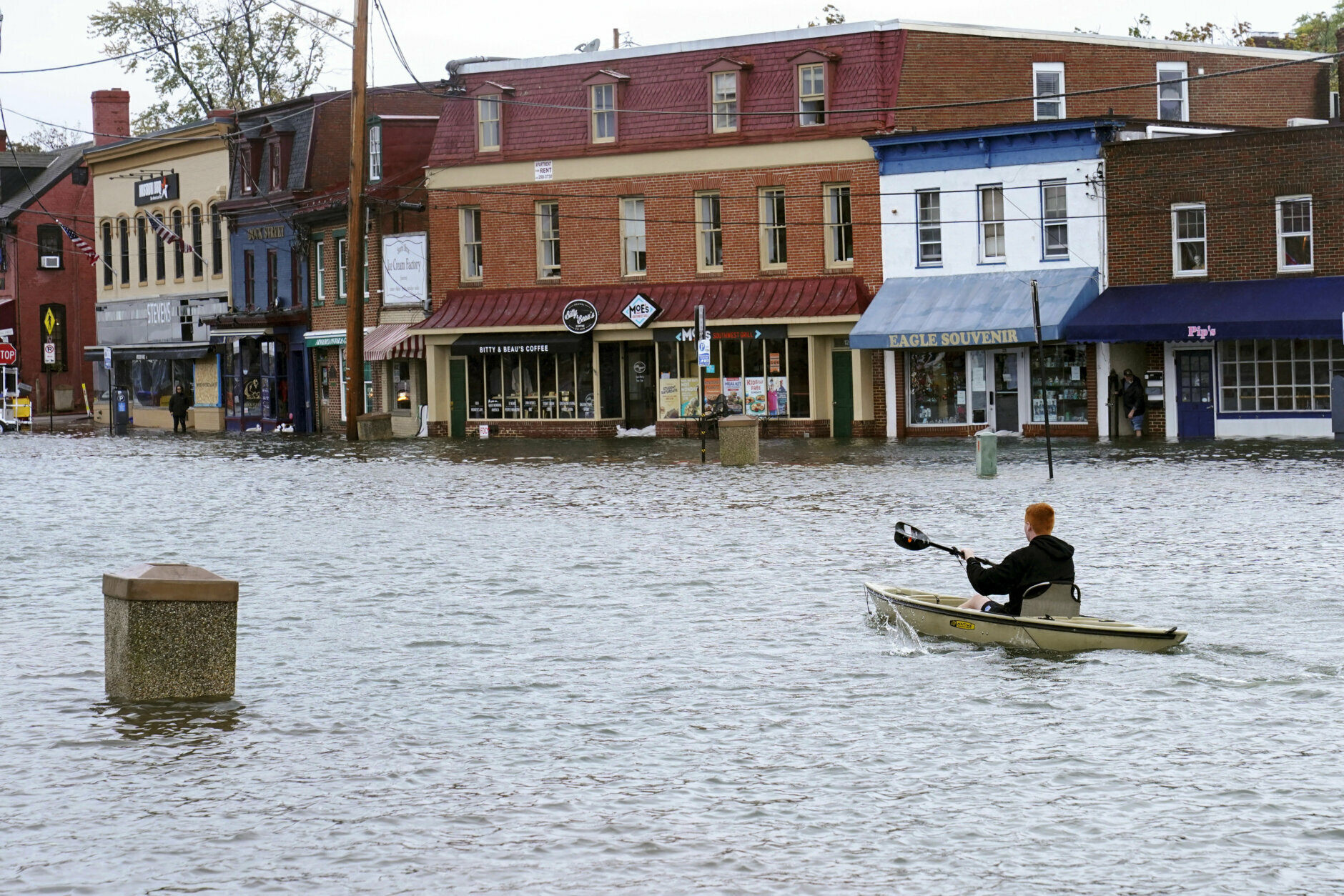
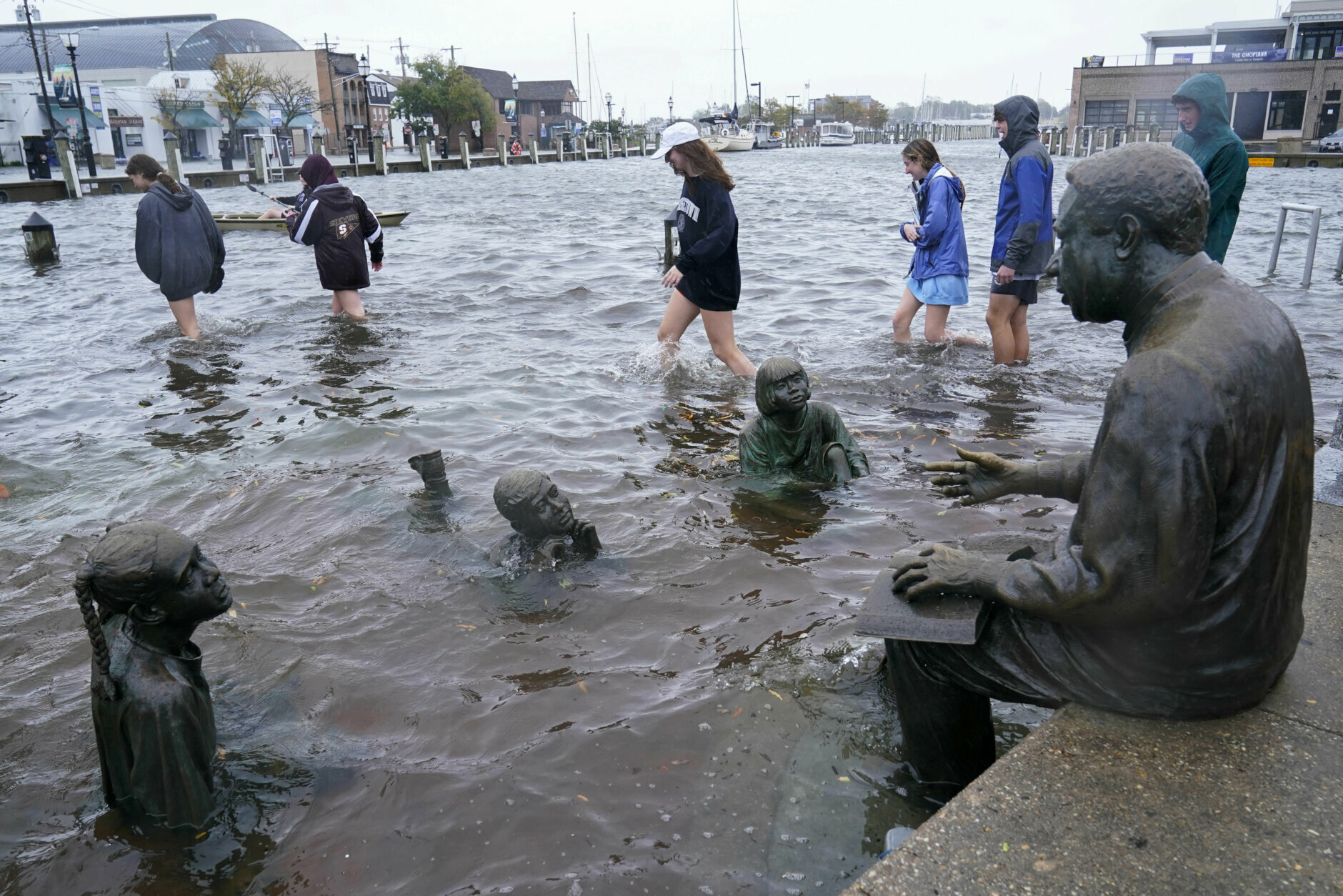
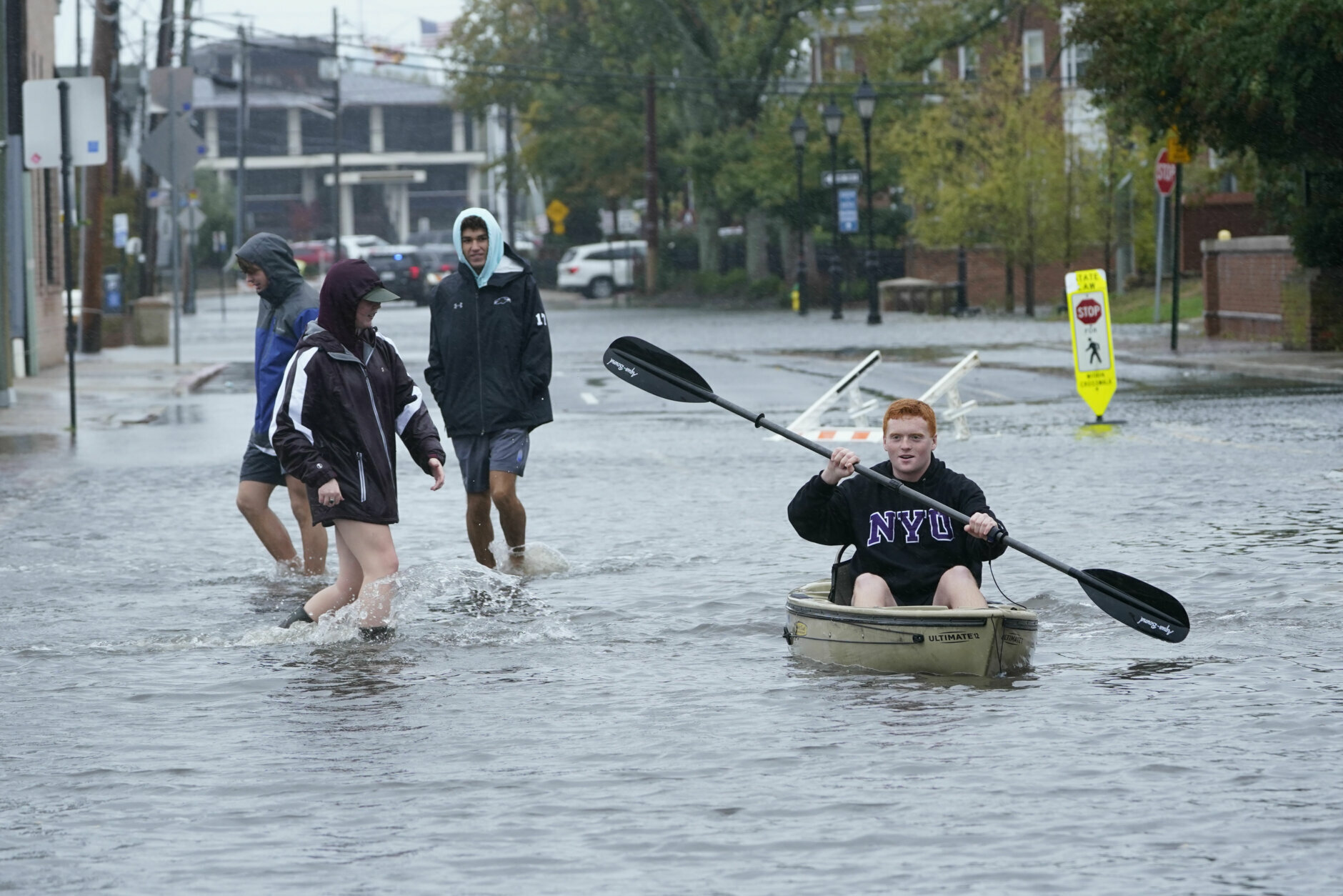
On Friday morning, Annapolis experience some “extreme conditions,” with floodwaters submerging streets around the city dock in what Mayor Gavin Buckley said was “probably the highest tides we’ve seen in decades.”
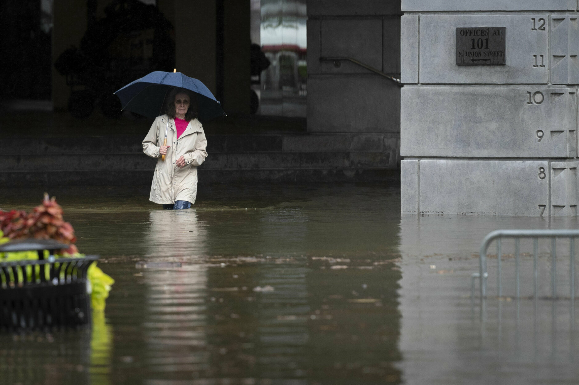
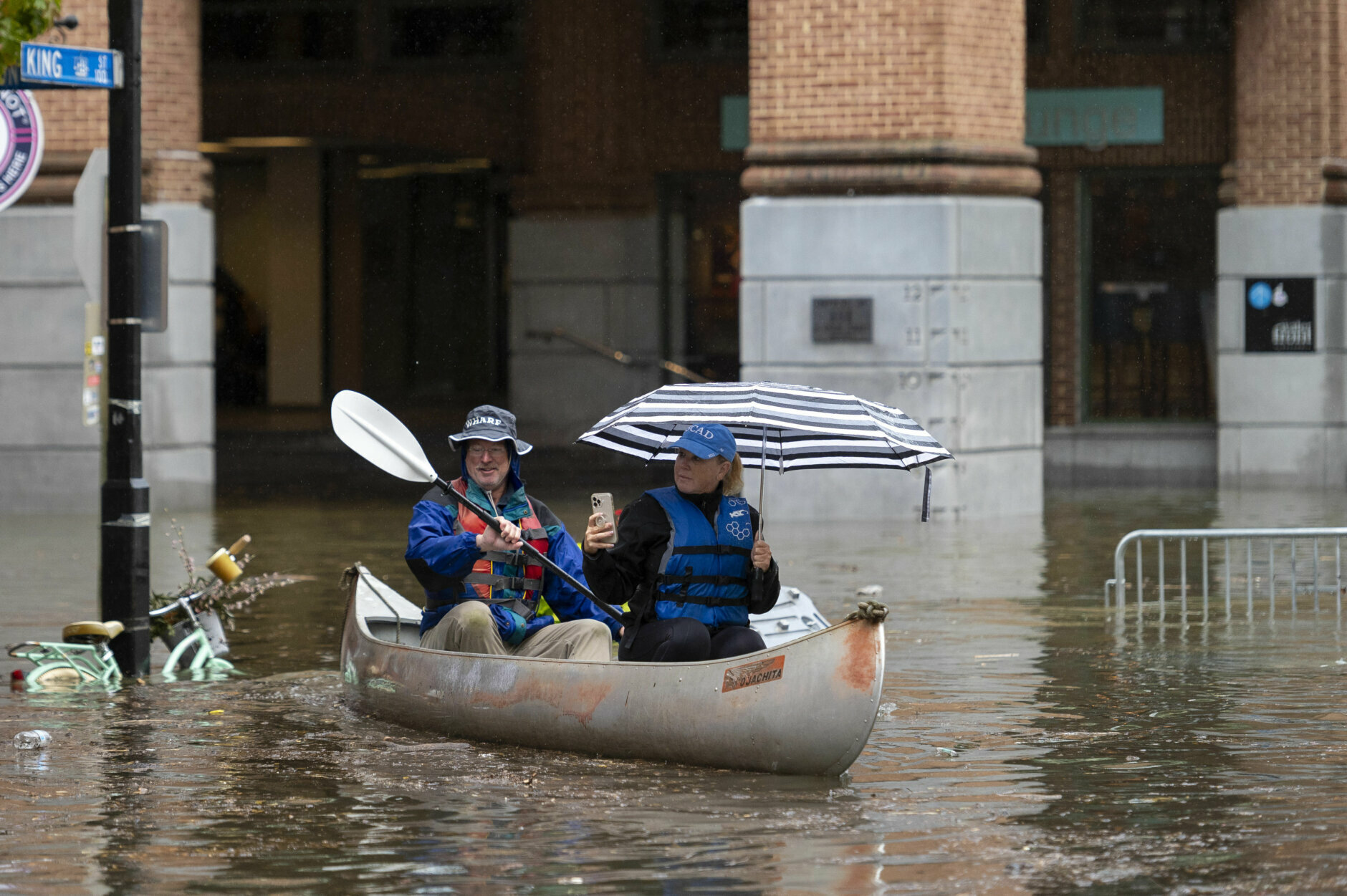
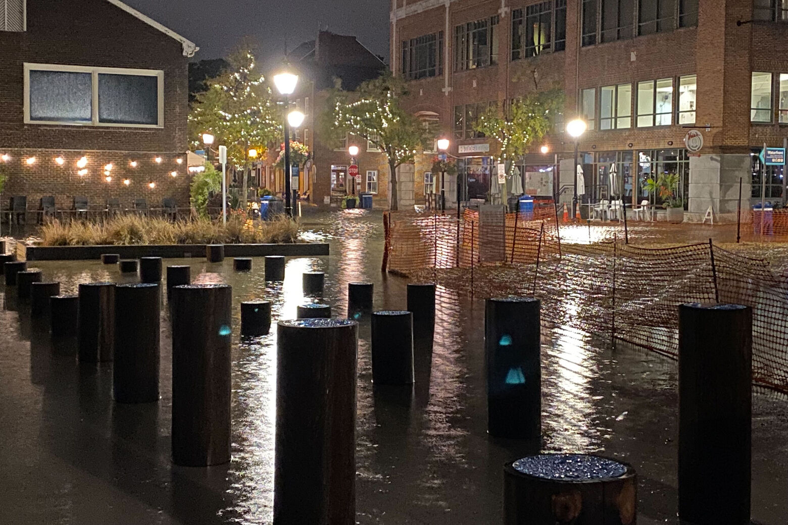
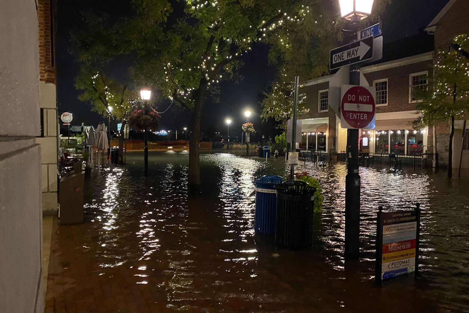
There were similar scenes in Old Town Alexandria in Virginia, at high tides both in the early morning and shortly after 3:30 p.m. Friday
Already high standing water had closed several streets in Old Town, including Union Street between Queen Street and Prince Street, Alexandria Police said.
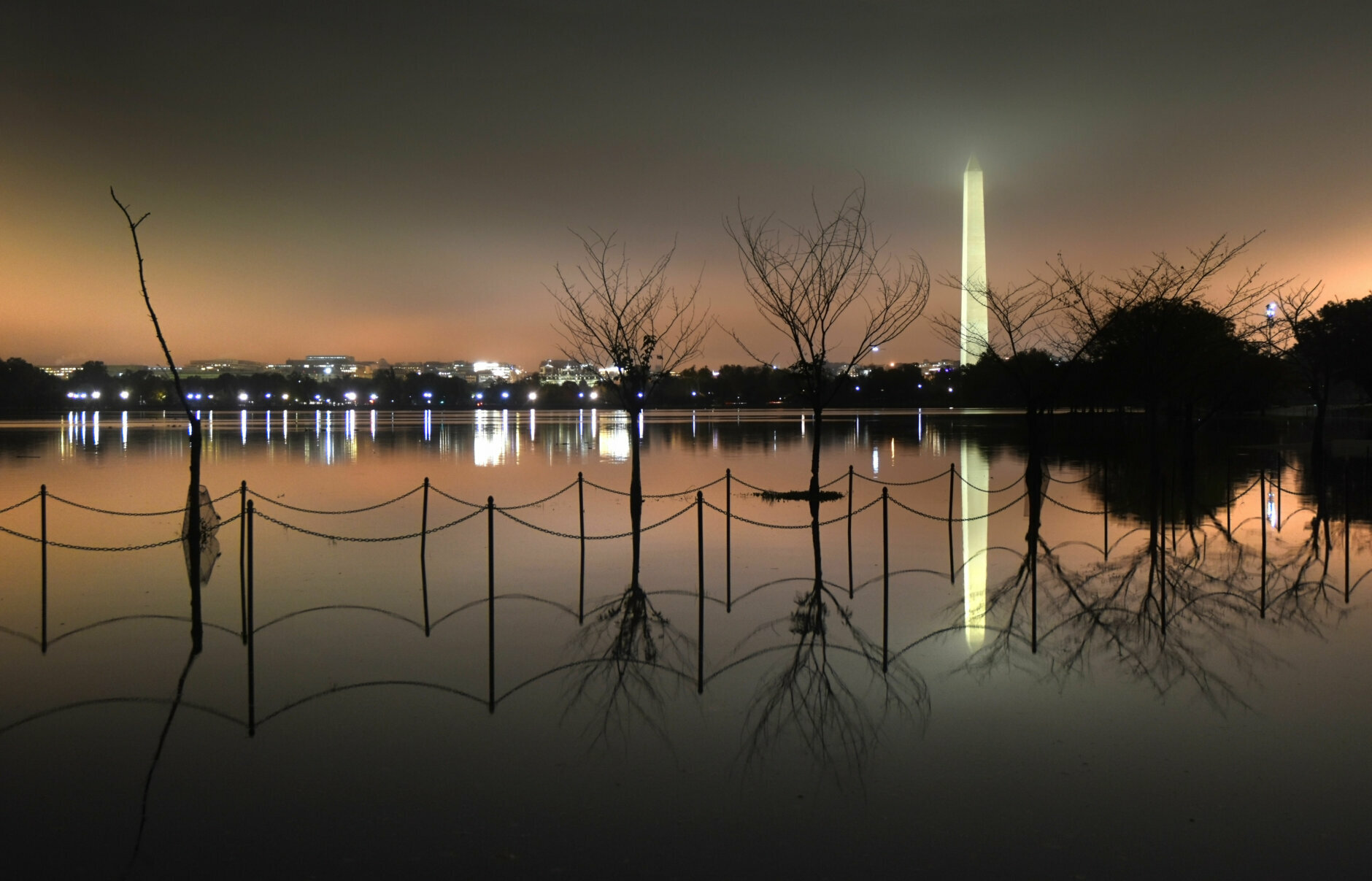
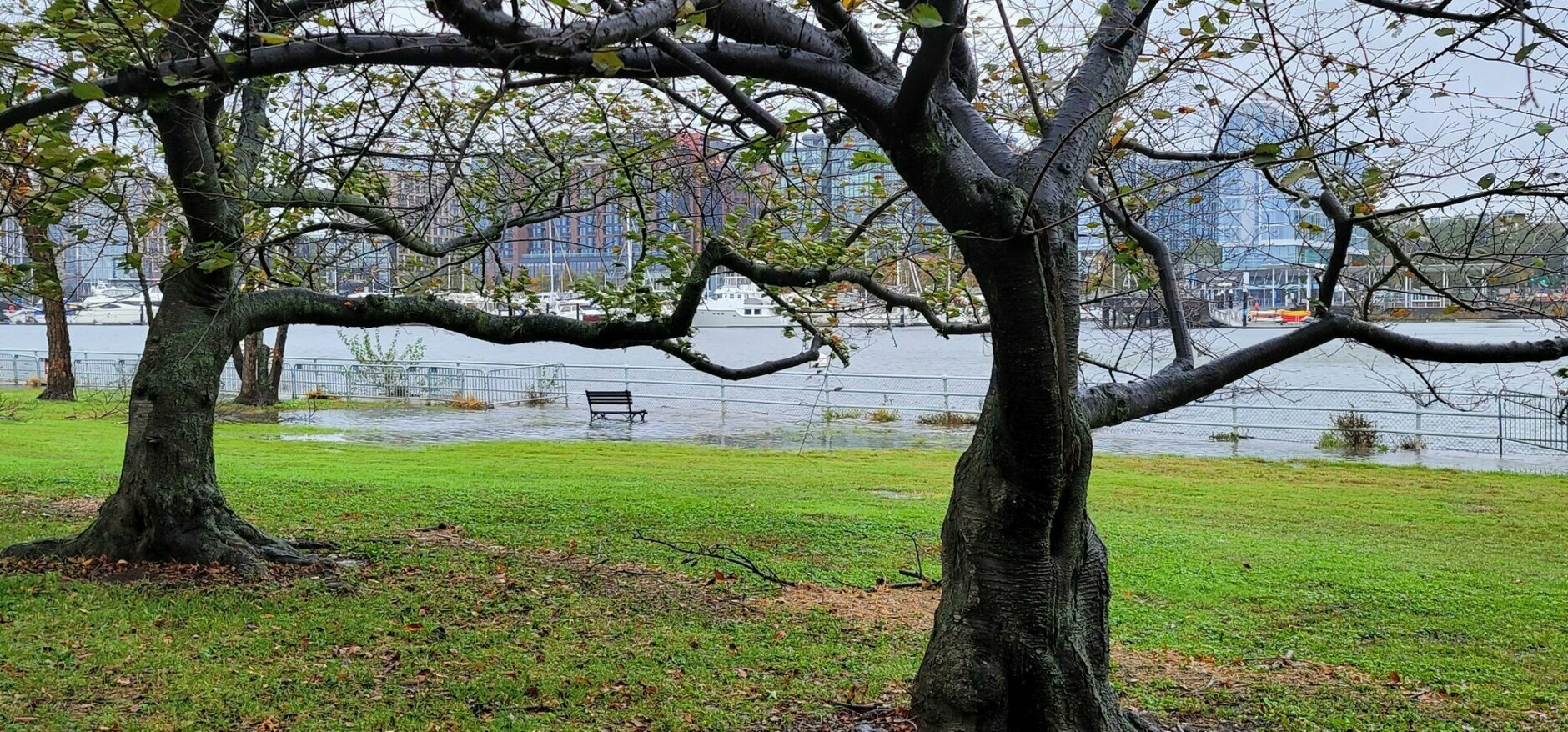
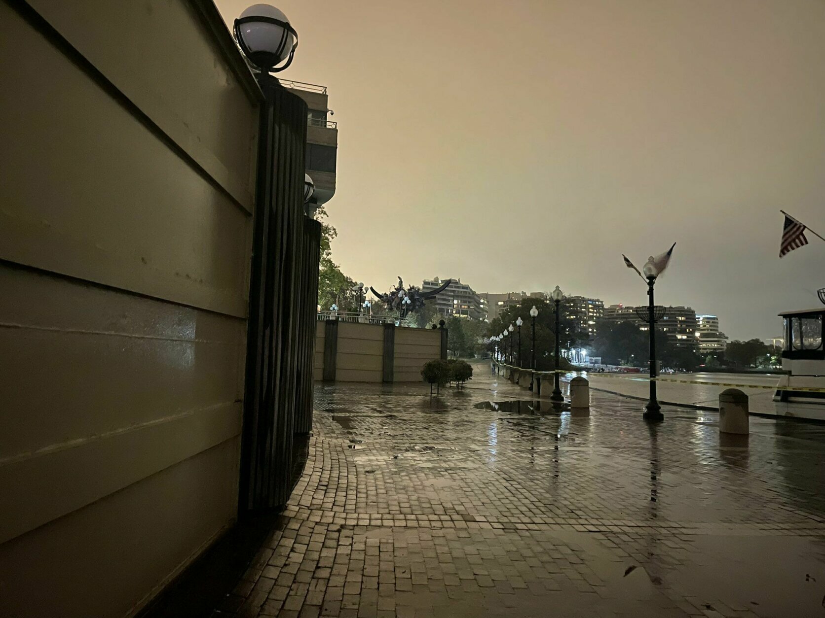
In D.C., where high tide arrived at 3 p.m., parts of The Wharf in Southwest were largely underwater, including the historic Fish Market.
Forecast
- Saturday: Mostly cloudy. Breezy and cooler. A few scattered showers or drizzle. Highs in the upper 50s to mid-60s.
- Sunday: Mostly cloudy early then gradual clearing late in the day. Sunny but breezy afternoon. Highs in the low to mid-60s.
- Monday: Sunny and seasonable. Steady breeze. Highs in the low to mid-60s.
Current conditions:
Like WTOP on Facebook and follow @WTOP on Twitter to engage in conversation about this article and others.
Get breaking news and daily headlines delivered to your email inbox by signing up here.
© 2021 WTOP. All Rights Reserved. This website is not intended for users located within the European Economic Area.
"light" - Google News
October 30, 2021 at 12:13PM
https://ift.tt/2Y1Y95W
After ‘nasty’ weather, breezy conditions with light showers heading to DC area - WTOP
"light" - Google News
https://ift.tt/2Wm8QLw
https://ift.tt/2Stbv5k
Bagikan Berita Ini


0 Response to "After ‘nasty’ weather, breezy conditions with light showers heading to DC area - WTOP"
Post a Comment